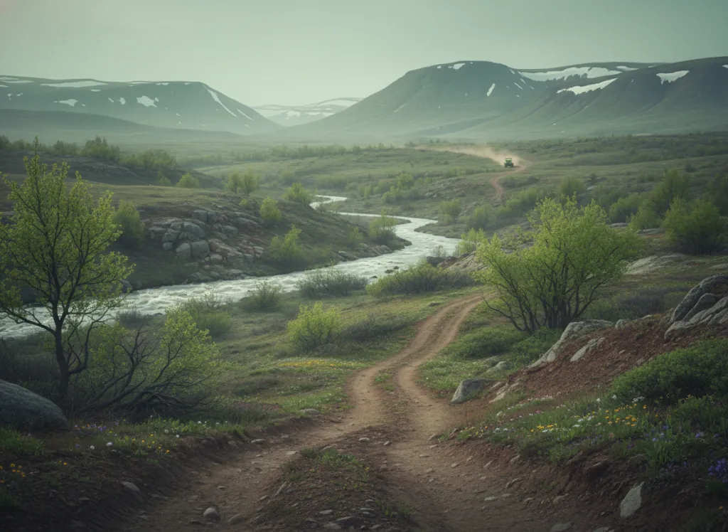
The Umpqua National Forest encompasses 983,000 acres of the western Oregon Cascades in Douglas, Lane, and Klamath counties: the mountain terrain draining to the North Umpqua and South Umpqua rivers, two of Oregon's most celebrated wild rivers, and the gateway to Crater Lake National Park via OR-138, the North Umpqua Highway. The OHV trail network operates on designated routes throughout the forest's multiple ranger districts, with the Diamond Lake and North Umpqua districts providing the primary riding terrain: the Diamond Lake basin at 5,200 feet at the base of Mount Thielsen, the high-elevation plateau riding on the rim country south of Diamond Lake toward the Crater Lake rim, and the mid-elevation forest road and trail network in the North Umpqua canyon country between Glide and Toketee Falls. The Umpqua occupies the wetter, more heavily forested western slope of the Oregon Cascades: Douglas fir, western hemlock, and western red cedar in the lower canyon country below 3,000 feet; mountain hemlock and Shasta red fir on the higher volcanic plateau; and the lodgepole pine parklands of the Diamond Lake basin at the summit elevation. The volcanic landscape above Diamond Lake provides the most dramatic Umpqua OHV terrain: the lava fields and pumice flats of the High Cascades erupt through the forest cover, Mounts Bailey and Thielsen rise above the plateau to 9,000+ feet, and the designated OHV routes traverse a landscape that is simultaneously alpine and forested in the way unique to the Oregon High Cascades. The Roseburg gateway on I-5 provides the western approach via the North Umpqua corridor; Klamath Falls and Medford approach from the south via OR-62. Oregon OHV registration required. Diamond Lake Ranger District (541-498-2531) and North Umpqua RD in Roseburg (541-672-6601) manage current trail conditions.
Hours
Accessible approximately May through October; higher-elevation routes close under snow. No day-use fee. Oregon OHV registration required on designated routes.
Phone
541-672-6601Trip openings, seasonal updates, and the occasional deal, straight to your inbox.
FAQ
Everything you need to know before you get started.
Have a question, or ready to book? Reach out and we’ll get right back to you.